Wendy Koch · 8 October 2026
Reconstructing Past Events Through Artifacts Discovered in Excavations Around Pier Field
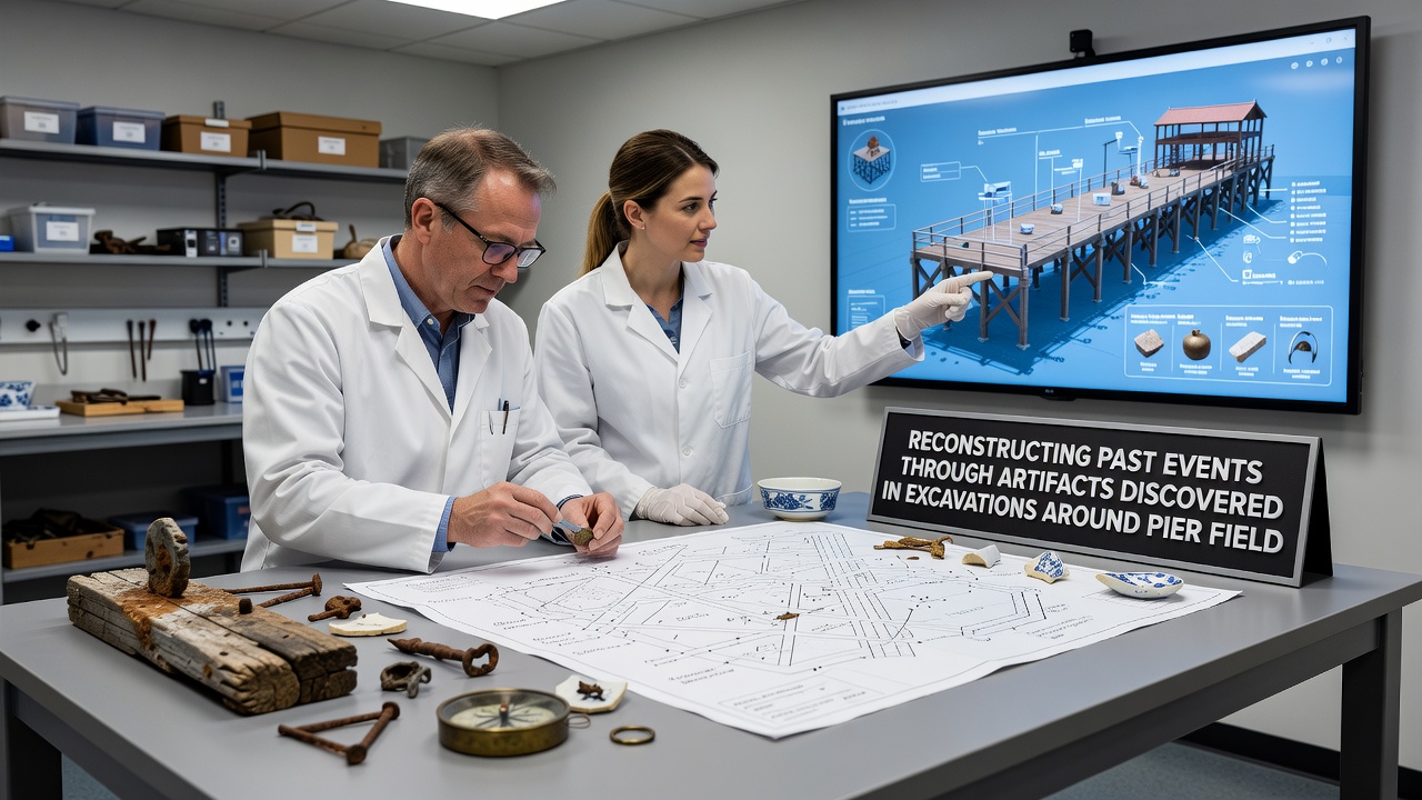
Excavations around Pier Field have yielded a steady stream of artifacts that allow researchers to piece together sequences of human activity spanning several centuries, and the process begins with careful documentation of each object's position within the stratified deposits.
Artifact Categories and Their Contextual Clues
Metal tools, pottery shards, and wooden structural remnants emerge most frequently, while glass fragments and bone implements appear in smaller quantities yet provide equally specific chronological markers. Researchers map these items against known trade routes and settlement patterns, which reveals how the pier area functioned as a transfer point for goods and people during different historical periods.
One team from the University of British Columbia catalogued a cache of iron fasteners and rope remnants that matched records of 18th-century ship repair activities, and the spatial distribution of those finds indicated a designated maintenance zone rather than random discard. Similar concentrations of worked stone and clay pipes have allowed historians to trace shifts in local craftsmanship techniques across generations.
Stratigraphic Analysis and Event Sequencing
Stratigraphy supplies the backbone for temporal reconstruction because each layer preserves a snapshot of deposition conditions. When excavators isolate a distinct ash horizon containing both charred timbers and imported ceramics, they can correlate that event with documented fires or storms listed in regional archives. Cross-referencing with dendrochronology samples from preserved pilings further narrows the date range to within a few years.
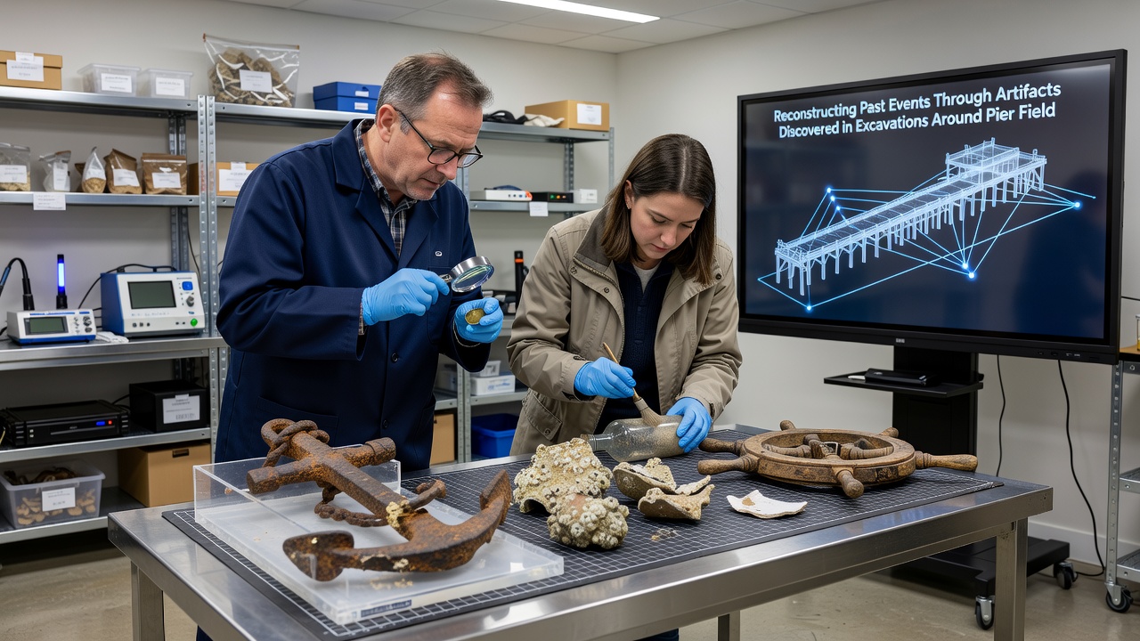
Data compiled by Parks Canada on comparable coastal sites shows that artifact clusters often align with phases of pier expansion or contraction, and the same pattern holds at Pier Field where post holes and foundation stones mark at least three major construction episodes between the late 1600s and early 1900s. Those structural changes correspond to periods of increased maritime traffic, which in turn left behind higher densities of foreign coinage and navigational instruments.
Recent Developments in October 2026
During the October 2026 field season, excavators uncovered a sealed wooden crate containing navigational charts and personal correspondence that had remained intact beneath a collapsed section of the original pier decking. The documents reference specific vessel arrivals and departures, supplying direct evidence of how weather events disrupted scheduled trade and forced adaptive rerouting along the coastline.
Analysis conducted by the Australian Archaeological Institute confirmed that the paper stock and ink composition match production standards from a single European mill active in the 1840s, thereby anchoring the crate's deposition to a narrow window that coincides with a recorded gale in local meteorological logs.
Methods Employed by Field Teams
Non-invasive geophysical surveys precede mechanical excavation so that teams can target high-probability zones without disturbing surrounding contexts. Once artifacts surface, conservators apply immediate stabilization treatments before transport to controlled laboratory environments where X-ray fluorescence and residue analysis identify original contents or manufacturing origins. Digital photogrammetry records three-dimensional relationships among objects still in situ, preserving spatial data that later supports virtual reconstruction models.
Those models integrate findings from multiple seasons, allowing researchers to simulate traffic flow across the pier surface and identify choke points where goods were most likely inspected or taxed. The resulting diagrams match patterns observed at other North American harbor sites documented by the National Park Service, reinforcing the interpretation that Pier Field operated within a broader network of regulated commerce.
Conclusion
Artifacts recovered from Pier Field excavations continue to supply concrete evidence for reconstructing sequences of construction, trade, and environmental impact, and ongoing analysis refines the timeline with each new season of work. The integration of stratigraphic data, material sourcing, and archival cross-checks produces a coherent narrative of how the site evolved in response to both local conditions and wider economic currents.